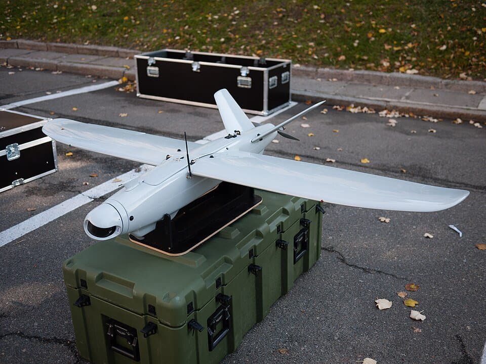

Credit
VoidWanderer · CC BY-SA 4.0 · Resized · CC BY-SA 4.0 · Source ↗ · Modified


Preparing your view.

Measured figures
Skydio X10 with VT300-L · Length
Single source2 ft 1.6 in (0.650 m)[source]
Skydio X10 with VT300-L · Width
Single source2 ft 7.1 in (0.790 m)[source]
Maximum; Skydio X10 with VT300-L · at sea level
Single source45 mph (72 km/h, 39 kn) at sea level[source]
Skydio X10 with VT300-L · wireless range
Single source7.5 mi (12 km, 6.5 nmi) (wireless range)[source]
Skydio X10 with VT300-L · Endurance
Single source40 minutes[source]
Skydio X10 with VT300-L · without payload
Single source15,000 ft (4,600 m) without payload[source]
Skydio X10 with VT300-L · 1,200 ft/min (
Single source1,200 ft/min (6 m/s)[source]
Bars compare reported quantities only. A larger figure does not make a system better; configurations and test conditions differ.
Configuration
| Specification | DeViRo Leleka-100 | Skydio X10 |
|---|---|---|
| Type | Reconnaissance UAV[source] | Camera drone[source]X10 |
| National origin | Ukraine[source] | United States[source]X10 |
| Manufacturer | DeViRo[source] | Skydio AeroArc[source]X10 |
| Primary user | Armed Forces of Ukraine[source] | — |
| Introduction date | 2015[source] | September 2023[source]X10 |
| Alternative designation | Leleka-100[source] | — |
| Primary users | — | United States Army Spanish Army[source]X10 |
| Manufactured | — | 2023–present[source]X10 |
| Battery capacity | — | 18.55V 8419 mAh (156.17Wh)[source] |
| Maximum wind resistance | — | 28 mph (46.1 km/h)[source] |
| Operating temperature | — | -4°F (-20°C) to 113°F (45°C)[source] |
| Cameras | — | 50.3MP 1" CMOS wide-angle camera 64MP 1/1.7" CMOS narrow-angle camera 640×512 Teledyne FLIR Boson+ thermal camera[source] |
| GNSS compatibility | — | GPS , Galileo , GLONASS , BeiDou[source] |
| Processors | — | Nvidia Jetson Orin Qualcomm QRB5165[source] |
| Encryption | — | AES-256[source] |